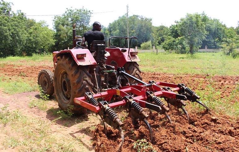
The 2012 RUFORUM Biennial Conference is the third in the series. The main objective of the Biennial conferences is to provide a platform for agricultural research for development stakeholders in Africa and beyond to actively exchange findings and experiences, while at the same time learning lessons towards improving performance of the agricultural sector and ultimately people’s livelihoods. The biennial conference is RUFORUM’s most comprehensive meeting for the diversity of stakeholers in agriculture. It is especially dedicated to graduate students and their supervisors, grantees in RUFORUM member universities and alumni. It is a platform for peer review, quality control, mentorship, networking and shared learning. The third Biennial Conference was attended by 657 participants.This record contains an extended abstract accepted under Enhancing Natural Resource Management
Spatial and Temporal Distribution and Utilisation of Fallow Land in South Central Zimbabwe
Abstract:
The purpose of this study was to assess the spatial and temporal
distribution of fallow land between 1984 and 2010 in
Zimbabwe’s communal areas and its utilisation. Chivi district,
which is located in south central Zimbabwe, was used as a
case study. Remote sensing techniques were used to map and
determine the extent of spatial and temporal changes in fallow
land. Factors influencing fallow land increase and the
subsequent current utilisation were assessed using participatory
and conventional methods. Vegetation characteristics and soil
fertility analysis was done on fallow fields of different ages
replicated five times. Soil fertility analysis and vegetation
characterisation was undertaken using standard methods. The
size of fallow land was found to increase by 18.23 % from
1984 to 2010 while the cultivated area decreased from 34.40%
to 17.18%. Factors that caused increase in fallow land were
mainly socio-economic driven rather than biophysical. Draught
power shortage (34%) was ranked as the major reason of
fallowing followed by labor shortage (24%) and lack of inputs
(22%). Poor soil fertility (16%) and drought (4%) were ranked
as least reasons for fallowing. Soil fertility was generally low
with mineral N ranging between 12.67 ppm and 18.67 ppm.
Available P ranged between 3.6 ppm and 4.4 ppm whilst soil
pH values ranged between 4.2 and 4.6. Most fallow fields were
dominated by grasses and herbaceous plants. Fallow fields over
10 years had sparse shrubs. No trees species were found in all
the fallow fields. Dominant grass species in the fallows included
Cynodon dactylon and Perotis patens, which had lower
nutrient content compared to required quantities for livestock
production. The study concluded that size of fallow land was
increasing in Chivi communal areas mainly because of socioeconomic
and biophysical factors, and that fallow land is mainly
used for livestock grazing although the quality of grazing pasture
was poor. Effort should therefore be made to increase theproductivity of fallow land by, for example, introducing
technologies that improve pastures.
Le but de cette étude était d’évaluer la distribution spatiale et
temporelle de la terre en jachère entre 1984 et 2010 dans les
zones communales du Zimbabwe et de son utilisation. Le district
de Chivi, qui est situé dans le centre-sud du Zimbabwe, a été
utilisé comme une étude de cas. Les techniques de télédétection
ont été utilisées pour cartographier et déterminer l’ampleur des
changements spatiaux et temporels dans les terres en jachère.
Les facteurs influençant l’augmentation des terres en jachère
et l’utilisation ultérieure en cours ont été évalués en utilisant
des méthodes participatives et conventionnelles. Les
caractéristiques de la végétation et l’analyse de la fertilité des
sols ont été effectuées dans les champs en jachère d’âges
différents répétés cinq fois. L’analyse de la fertilité du sol et la
caractérisation de la végétation ont été réalisée en utilisant des
méthodes standard. La superficie des terres en jachère a
augmenté de 18,23% de 1984 à 2010 alors que celle des terres
cultivées a diminué de 34,40% à 17,18%. Les facteurs qui ont
causé l’augmentation des terres en jachère ont été
principalement reconnus socio-économiques plutôt que
biophysiques. La pénurie d’électricité en temps de sécheresse
(34%) a été classée comme la principale raison de la mise en
jachère suivie par le manque de travail (24%) et le manque
d’intrants (22%). La pauvre fertilité des sols (16%) et la
sécheresse (4%) ont été classées comme les moindres raisons
pour la mise en jachère. La fertilité du sol est généralement
faible avec l’azote minéral compris entre 12,67 ppm et 18,67
ppm. Le phosphore P disponible se situait entre 3,6 ppm et 4,4
ppm tandis que les valeurs de pH du sol variaient entre 4,2 et
4,6. La plupart des champs en jachère ont été dominés par des
herbes et des plantes herbacées. Les champs en jachère de
plus de 10 ans avaient des arbustes clairsemés. Aucune espèce
d’arbres n’a été trouvée dans tous les champs en jachère. Les
espèces d’herbes dominantes dans les jachères comprenaient
les patens CynodondactylonandPerotis, qui avaient une plus
faible teneur en éléments nutritifs par rapport aux quantités
requises pour la production animale. L’étude a conclu que la
taille de la jachère a augmenté dans les zones communales de
Chivi principalement à cause des facteurs socio-économiques
et biophysiques, et que les terres en jachère sont principalementutilisées comme pâturage du bétail, bien que la qualité des
pâturages fût pauvre. Donc, l’effort devrait être fourni pour
accroître la productivité des terres en jachère, par exemple, en
introduisant les technologies qui améliorent les pâturages.
Language:
English
Extended abstracts submitted under Enhancing Natural Resource Management
Date of publication:
2012
Country:
Region Focus:
Southern Africa
Collection:
RUFORUM Conferences and Workshops
Agris Subject Categories:
Agrovoc terms:
Additional keywords:
Licence conditions:
Open Access
Access restriction:
Form:
Printed resource
Publisher:
ISSN:
E_ISSN:
Edition:
Notes:

